 geocatalogue.geoportail.lu
Main>Environment, Biology and Geology>Soil maps
Type of resources
Available actions
Topics
Keywords
Contact for the resource
Provided by
Groups
Years
Representation types
Update frequencies
status
Scale
-
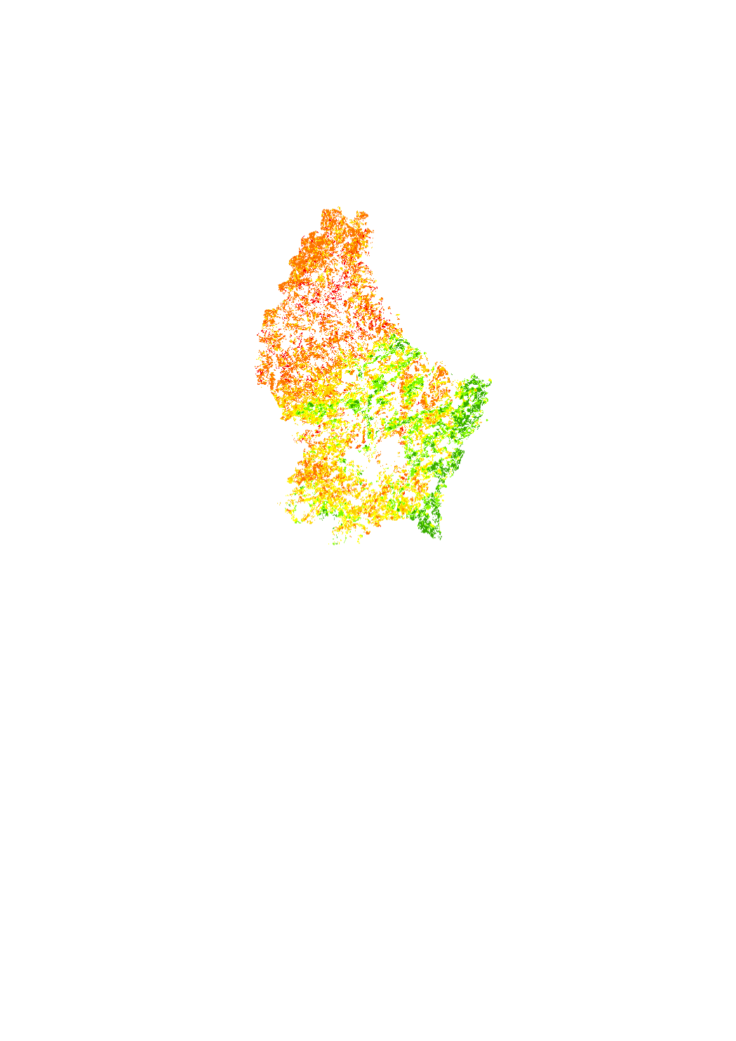
Interpolation (Kriging) of the pH content (CaCl2) in agricultural soils. Based on soil analysis data from 2009 to 2014.
-
1:100k de 1969
-
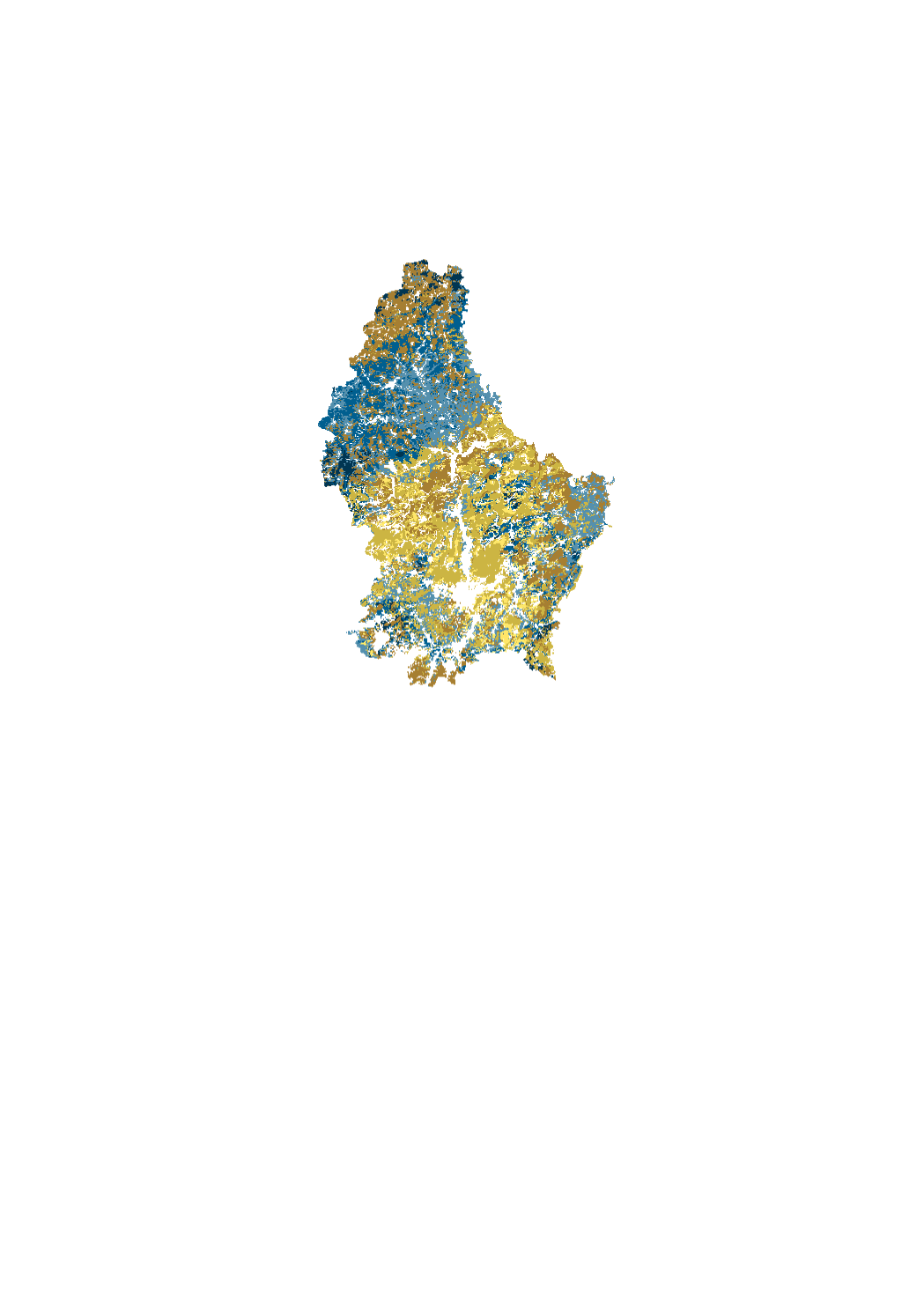
Modeling of the content of topsoil organic carbon (%) in croplands (0-25 cm), permanent grasslands (0-10 cm), vineyards (0-30 cm) and forests (0-20 cm). Based on soil analysis data collected between 2012-2014 (agriculture, vineyards) and 1998-2001 (forest).
-
This layer contains linear erosionrills identified on the basis of orthophotographs 2001-2020 for the erosion classification of medium and high risk parcels. Rills in lower categories can be requested on demand.This layer is visible during the public consultation from 01/03/2024 to 15/04/2024. Duly motivated objections should be sent to pedologie@asta.etat.lu.
-
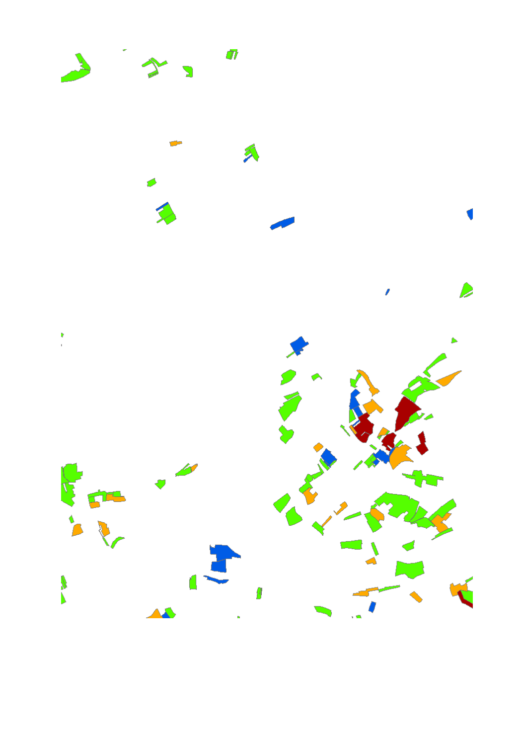
This layer shows the classification of the erosion risk in arable land for the cropping year 2023-2024. The risk categories are: "very low","low","medium","high".
-
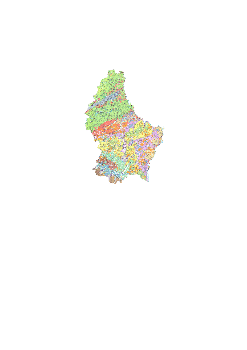
Detailed soil map on topographic background. The published set includes 7 sheets at a scale of 1:25000 (1964 1999).